Multimodal Spatial Imaging Group
Department of Geomatics Engineering · Schulich School of Engineering · University of Calgary
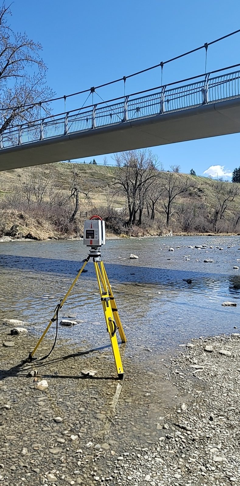
The Multimodal Spatial Imaging Group (MSIG) develops precision measurement methods and rigorous mathematical models for 3D reality capture using diverse imaging sensors: terrestrial laser scanners, digital cameras, range cameras, LiDAR systems, and fluoroscopic imagers.
Led by Dr. Derek Lichti, our program sits at the intersection of imaging metrology, sensor calibration, and 3D spatial data analysis. We build the geometric and stochastic models that let sensors deliver trustworthy measurements.
Research themes
Imaging metrology and sensor calibration
Rigorous geometric modelling, self-calibration, and systematic-error characterization of terrestrial laser scanners, digital and range cameras, and X-ray imaging systems. This work also develops the estimation theory and optimal measurement-network design that underpin precise 3D reconstruction.
Point cloud processing and geometric feature extraction
Registration, segmentation, and robust fitting of geometric primitives such as planes, cylinders, and ellipses from laser-scanning point clouds, including object and target recognition under noise and occlusion.
As-built and industrial reality capture
Automated 3D documentation, dimensional verification, progress monitoring, and condition assessment of industrial and construction environments, with applications to mechanical piping and structural elements.
Building and indoor 3D reconstruction
Automated extraction of architectural and interior structure, including storey separation, openings, and indoor objects, from complete laser scans for building modelling.
Learning-based airborne LiDAR analysis
Statistical and deep-learning methods, including maximum-entropy approaches, for classification, outlier removal, and quality enhancement of multispectral airborne LiDAR point clouds.
Biomedical and biomechanical imaging
Calibration and modelling of multimodal imaging systems, such as dual-fluoroscopic X-ray and range or RGB-D cameras, for human motion capture and biological measurement.
Cultural heritage and geological surface documentation
3D recording and digital preservation of at-risk cultural-heritage sites, and the extraction and analysis of geological surfaces such as rock-mass discontinuities from point-cloud and photogrammetric data.